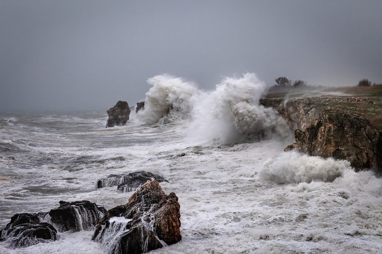
Severe weather, which has already caused widespread damage and disruption in the Western Cape, is anticipated to continue for the rest of the week, with several more weather warnings for the coming days.
The first storm hit the province over the weekend, with a second storm making landfall today (Tuesday, July 9). In addition to heavy rain and gale-force winds, some areas of the province have also experienced snow.
As a result, there has already been major damage and flooding to homes, roads and infrastructure.
“The City of Cape Town, Overberg, Cape Winelands, and West Coast districts were hardest hit by the severe weather. As always, our focus remains on the safety of our residents and the humanitarian support that they need,” said Anton Bredell, Western Cape Minister for Local Government, Environmental Affairs and Development Planning.
Closures
The town of Ceres received 123mm of rain between Sunday and Monday, with snow falling on surrounding mountains. According to the Cape Winelands Municipality, the Theronsberg Pass between Ceres and the N1 was closed due to snow. Also in the area, the Gydo Pass was initially closed due to snow, but reopened under stop-go conditions.
An update by the Western Cape Government on Tuesday morning indicated the Swartberg Pass and the Uitkyk passes were both also closed due to snow, with a total of over 40 roads across the province closed due to adverse weather or damage.
In the Overstrand, the R44 Clarence Drive between Rooi-Els and Gordon’s Bay was closed while sections of the N2 near to Cape Town International Airport were also affected by flooding on Tuesday afternoon, according to information shared by the City of Cape Town on social media.
The Table Mountain Aerial Cableway was one of the major tourist attractions closed this week as a result of poor weather and visibility while residents and visitors in coastal areas have been advised to be cautious. Waves with estimated heights of up to eight metres are predicted into Wednesday and again on Friday afternoon.
As the bad weather continues, the South African Weather Service has issued a category 8 warning for disruptive rain for Thursday, affecting Cape Town, Drakenstein and Stellenbosch.
“We are concerned about the rain-on-rain scenario, as saturated soil could lead to rock falls, landslides and flash floods,” said Bredell.
The Cape Winelands District Municipality has advised that travel be limited for the period of the warning. “If you must travel to or around the Cape Winelands, check the weather forecast and be aware of any road closures.”

